Compare A Price operates as an independent online product comparison and discovery platform. The content displayed on any page of this website, including this page, is provided for informational purposes only and is intended to help users explore product listings, availability, and retailer information across the wider online marketplace where Ordnance Survey products may be listed.
Compare A Price does not manufacture, sell, distribute, or directly supply any products shown on this website. We are not a retailer and do not act on behalf of retailers, brands, or manufacturers. All purchasing decisions, transactions, and fulfilment activities take place exclusively on third-party retailer websites.
All brand names, product names, logos, trademarks, and registered trademarks referenced on Compare A Price are the property of their respective owners. These trademarks are used solely to identify and describe products as they are listed by third-party retailers. Their appearance on this website does not imply any partnership, endorsement, sponsorship, approval, or official connection between Compare A Price and the respective brand owners.
Compare A Price is not affiliated with, authorised by, endorsed by, or officially connected to Ordnance Survey or any other brand featured on this website. References to brands and products are made under nominative fair use principles, for the sole purpose of enabling users to recognise products they may be researching or comparing.
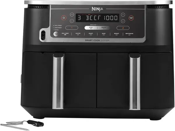
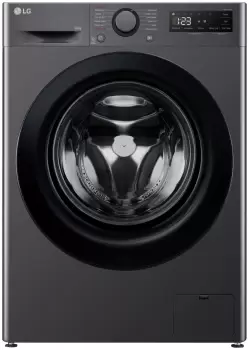
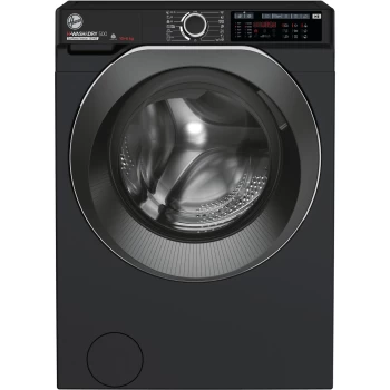
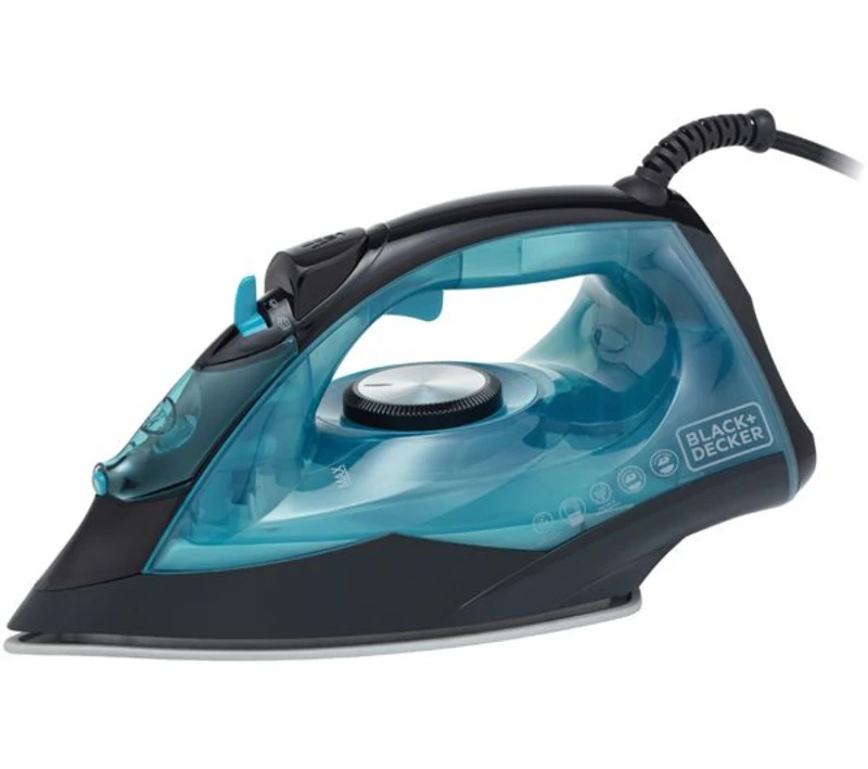
Product listings displayed on Compare A Price are sourced from third-party retailers, marketplaces, and sellers. Product availability, pricing, specifications, images, and descriptions are supplied by these third parties and may change at any time without notice. Compare A Price does not guarantee the accuracy, completeness, or continued availability of information provided by external sources and encourages users to verify all details directly on the retailer’s website before making a purchase.
Some product listings may include pricing information, while others may display product details only. The presence or absence of pricing does not indicate stock availability, promotional preference, endorsement, or ranking. Compare A Price does not set prices, control retailer inventory, or influence offers, discounts, or promotions in any way.
Any comparisons presented on Compare A Price are informational only and are intended to support research and discovery. We do not make claims regarding product quality, performance, authenticity, suitability, or value. Users are responsible for assessing whether a product meets their individual needs before purchasing.
Links to retailer websites are provided for convenience. Compare A Price does not process payments, handle orders, manage deliveries, process returns, or provide after-sales support. Any issues relating to orders, warranties, or customer service must be resolved directly with the retailer.
The inclusion, placement, or visibility of any product or brand on Compare A Price does not constitute endorsement, recommendation, or ranking based on quality, popularity, or value. Listings may appear based on relevance, availability of data, or information supplied by participating retailers.
Nothing on Compare A Price should be interpreted as advice, recommendation, or endorsement of any product or retailer.
If you are a Ordnance Survey brand owner or an authorised representative and believe that content on Compare A Price is inaccurate, misleading, or infringes upon intellectual property rights, you may contact us through our official channels. We will review valid requests promptly and take appropriate action in accordance with applicable laws and regulations.
By using Compare A Price, users acknowledge that the platform serves as an informational resource only. All purchasing decisions are made independently between users and third-party retailers, and Compare A Price accepts no responsibility for transactions conducted outside its platform.